
I’m George Holczheim, a certified agricultural engineer. Since childhood, I’ve been fascinated by nature and how plants work.
I graduated from the University of Agriculture in 2017, then worked in our family farm. In 2019, I discovered drone technology – at first, it seemed revolutionary, but in practice, it was often hindered by wind conditions or technical failures.
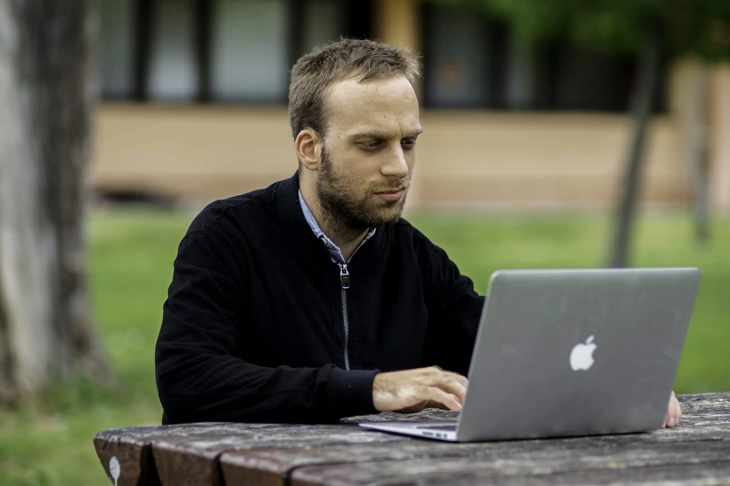
The shift came with satellite technology: in 2022, I enrolled in a precision farming course and was amazed by how much information can be extracted from Sentinel-2 satellites – completely independent of weather and on-site limitations.
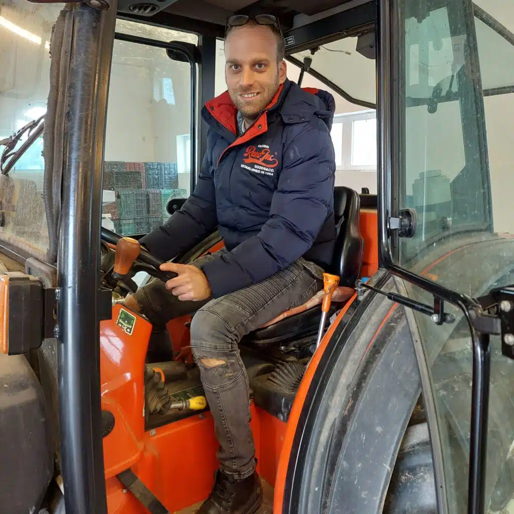
It all started on our family farm, where I first tested precision analysis on our own fields. Using the NDVI index, it quickly became clear where vegetation was weaker or soil conditions differed.
After positive results, I began helping other farms by creating maps, orthophotos, and zone plans.
The goal: data-driven decision-making for more efficient production.
Map-based analysis from Sentinel-2 satellite images – independent of weather.
No need for a high-tech machinery fleet – even a simple ISOBUS-equipped tractor is enough.
Nem függünk a drónoktól, akkumulátortól, GPS-jeltől vagy széltől.
Regular, high-resolution satellite images with several years of historical data.
Mutasd be a problémát, amit megoldasz, emeld ki a célközönséget, bizonyítékaidat vagy egy előnyöd, funkciód.
Mutasd be a problémát, amit megoldasz, emeld ki a célközönséget, bizonyítékaidat vagy egy előnyöd, funkciód.
Mutasd be a problémát, amit megoldasz, emeld ki a célközönséget, bizonyítékaidat vagy egy előnyöd, funkciód.
Mutasd be a problémát, amit megoldasz, emeld ki a célközönséget, bizonyítékaidat vagy egy előnyöd, funkciód.

Mutasd be a problémát, amit megoldasz, emeld ki a célközönséget, bizonyítékaidat vagy egy előnyöd, funkciód.
We can start right away – just send your parcel numbers and cadastral map, and we’ll soon prepare your first NDVI map.
My aim is to make satellite field surveying accessible to as many small and medium-sized farmers as possible.
I also plan to create a digital platform where farmers can view and track their own analyses.
Fill out the form below and we’ll reply to your questions as soon as possible!
© Gisservices.eu– All rights reserved! |